Mount Adams
Published: 08/15/2022
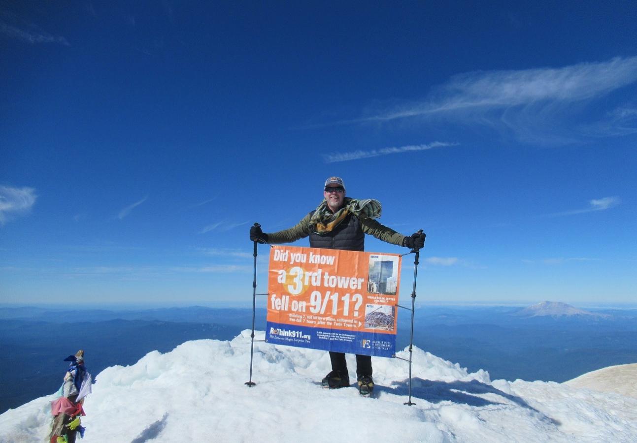
Did you know a 3rd tower fell on 9/11? Click here to head over to the Justice for 9/11 Heroes and Firefighters for 9/11 Truth page for more information on that 3rd tower.
Trail Report: Overall this was a difficult yet incredibly rewarding hike.
The drive up NF-80 and NF-8040 was a fairly mellow washboard, once on NF-500 there are several drainage berms that have washed out enough that low clearance vehicles may have trouble getting over them without bottoming out. In discussion with others at the trailhead it was noted that several had bottomed out their vehicles on the drive up. A high clearance vehicle is recommended for this hike - plan on it.
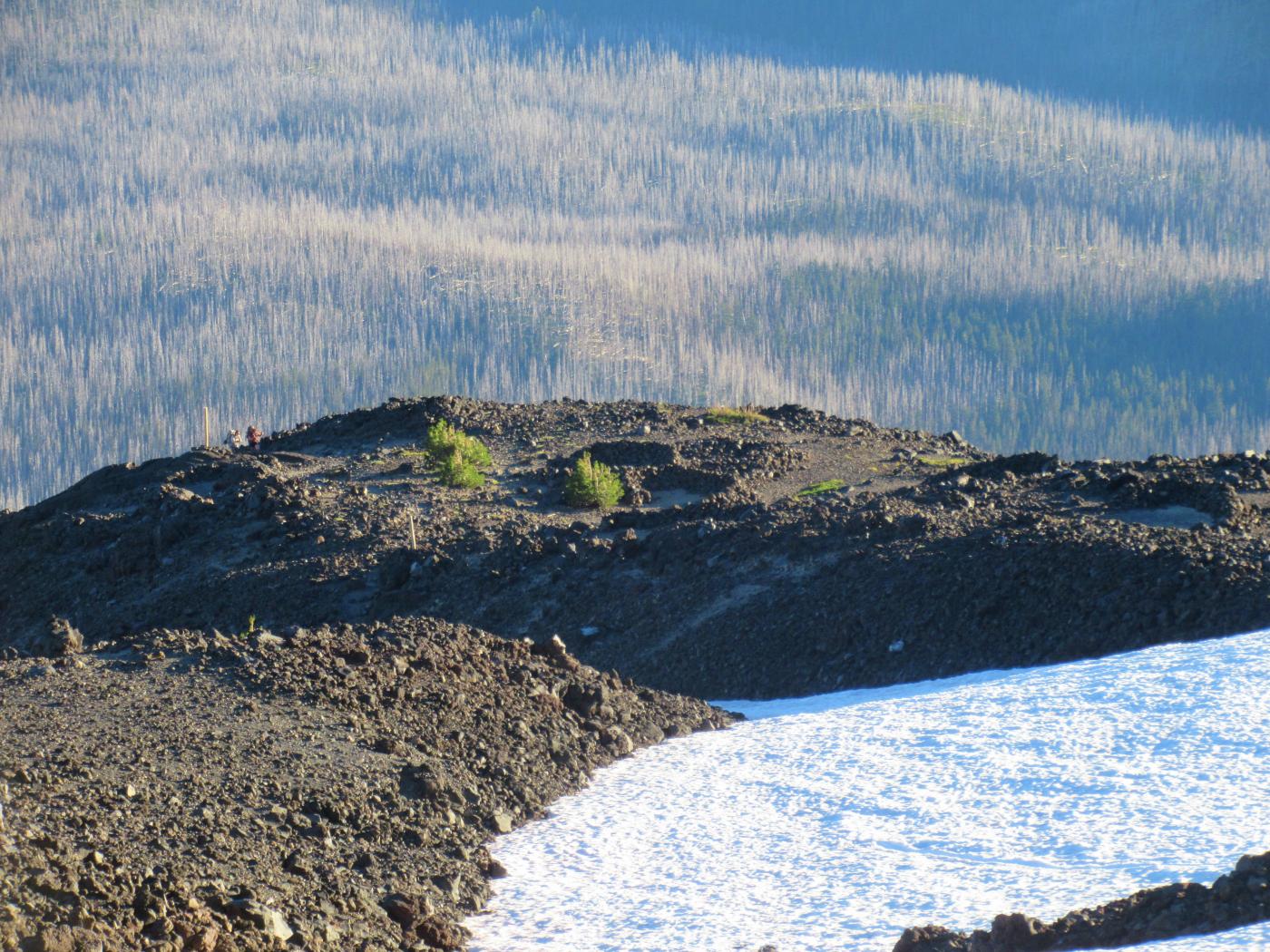
Started up from Cold Springs Camp around noon and took about 4 hours to make the lower edge of Lunch Counter. Preferred camping here as it's less weight to haul up higher (you have to climb it all anyway). Bedded down around 7 pm in preparation for an early alpine start (alarm set for 2:45 am).
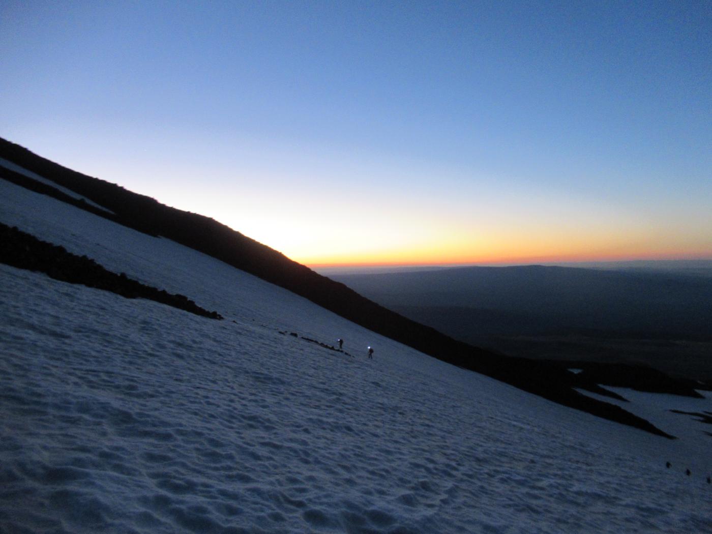
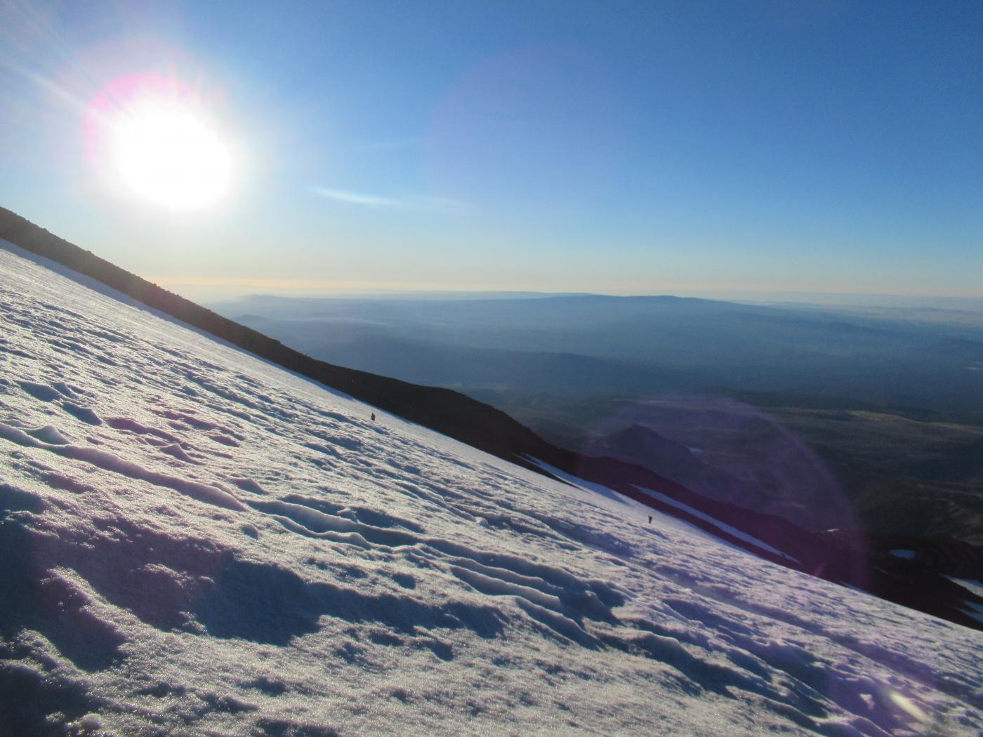
Woke up to a near full moon rising across the cloudless southern sky......perfectly illuminating the south facing snowfields during ascent. Set the headlamp to redlight mostly to give others a visual indication (there were several groups heading up at this time) with no need for additional lighting. Reached the base of the south face just before 5 am. The snowfields were icy - crampons, an ice axe and a trekking pole were the preferred setup for the south face.
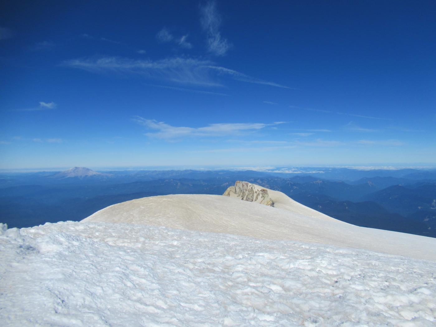
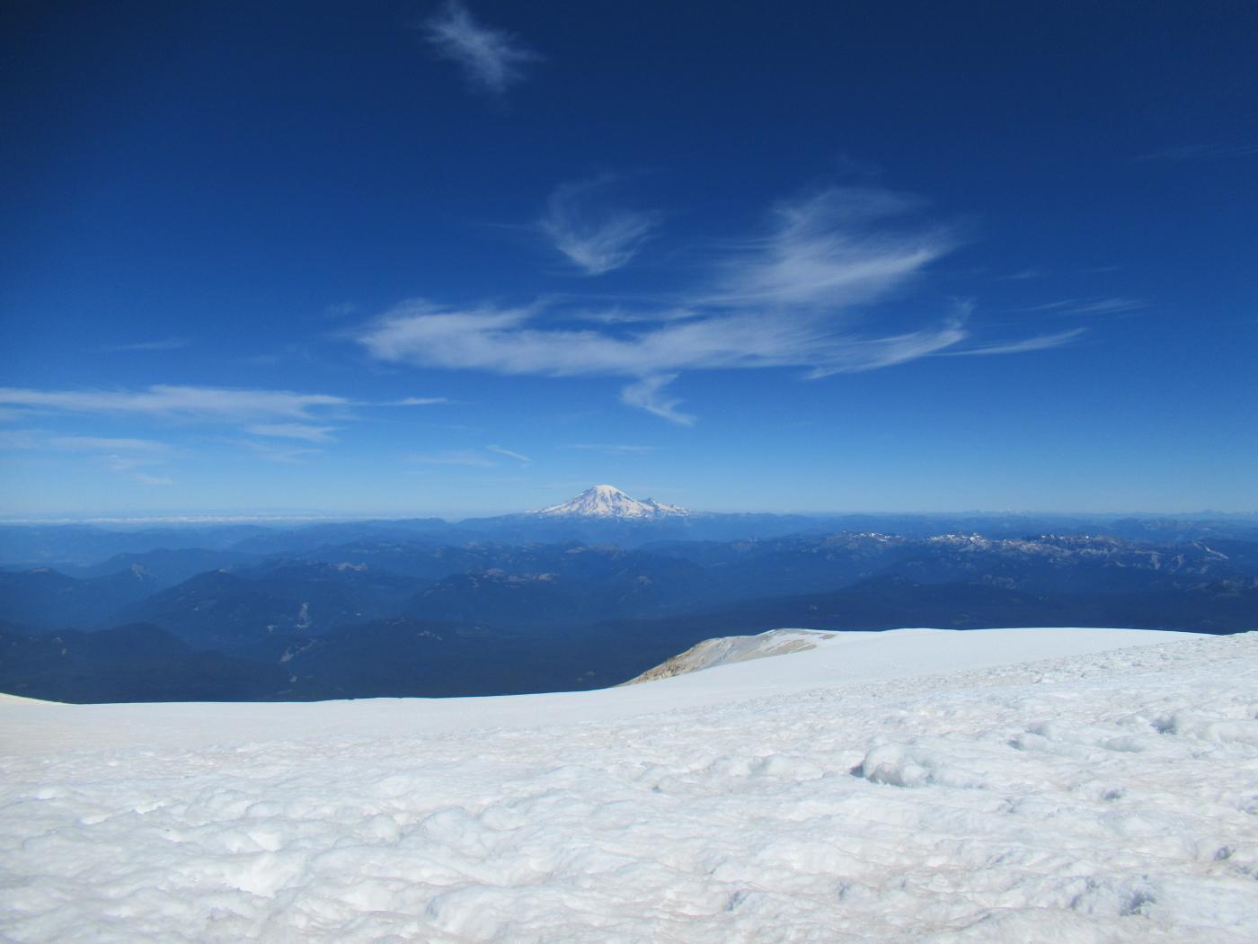
The push up the south face to Piker's Peak (false summit) took about 3 hours of steady, relentless grind. Was treated to an amazing golden hour sunrise while ascending which made up for the sufferfest. From Piker's the push to the true summit took about an hour.
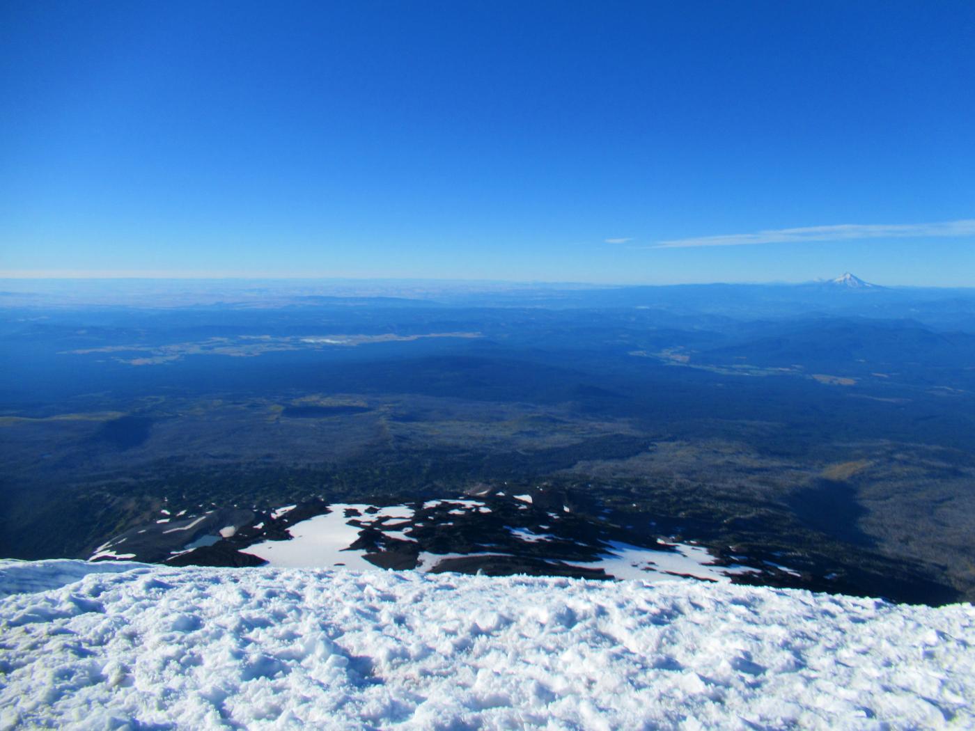
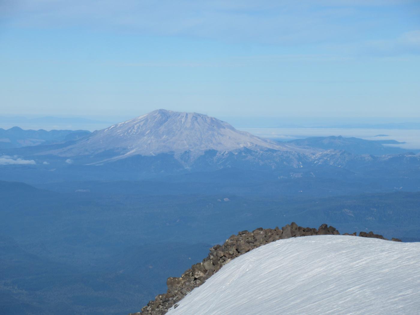
Couldn't imagine more perfect conditions for a high alpine summit. Wind was nil to perhaps 10 mph occasional gusts. Skies were clear with some whispy light cloud formations floating through.
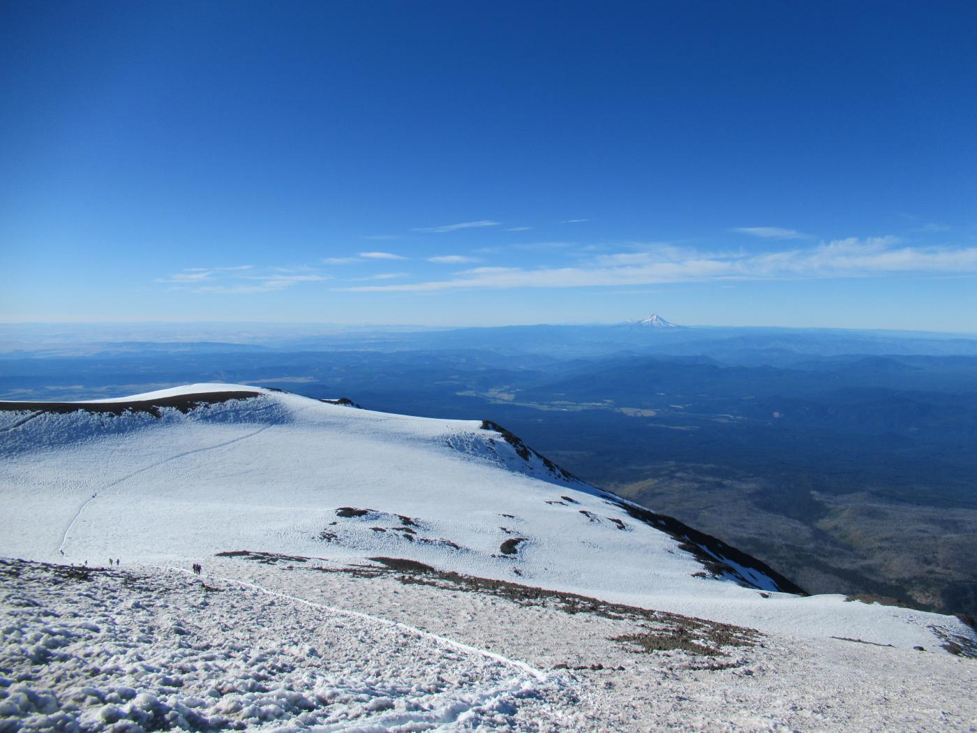
With the sun now fully illuminating the south slopes snow conditions changed to soft and slushy, perfect for the glissade chutes (true summit down to Piker's Peak and from Piker's down to Lunch Counter). Pulled the crampons off and used a Home Depot yard waste trash bag (15 mil) as a glissade aid. On a whim I stopwatched the descent from Piker's to Lunch Counter...it took 7 minutes to cover ~2000 ft of descent.
From Lunch Counter it was plunge-stepping down to camp, picked up the tent and sleeping back and packed out. Make sure you are topped off on water just below the snow line as it's still a decent hike out - hot and dry for several miles.
Overall this was a difficult yet incredibly rewarding hike.
~13.2 miles out-and-back, 6,732 ft of climb, summit 12,276 ft.
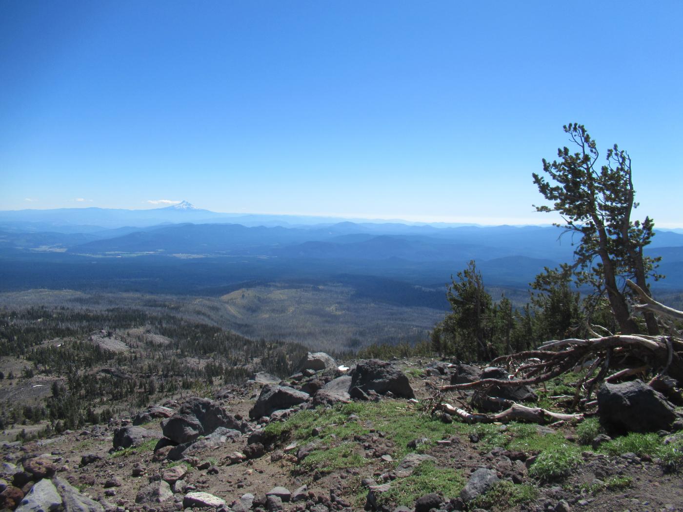
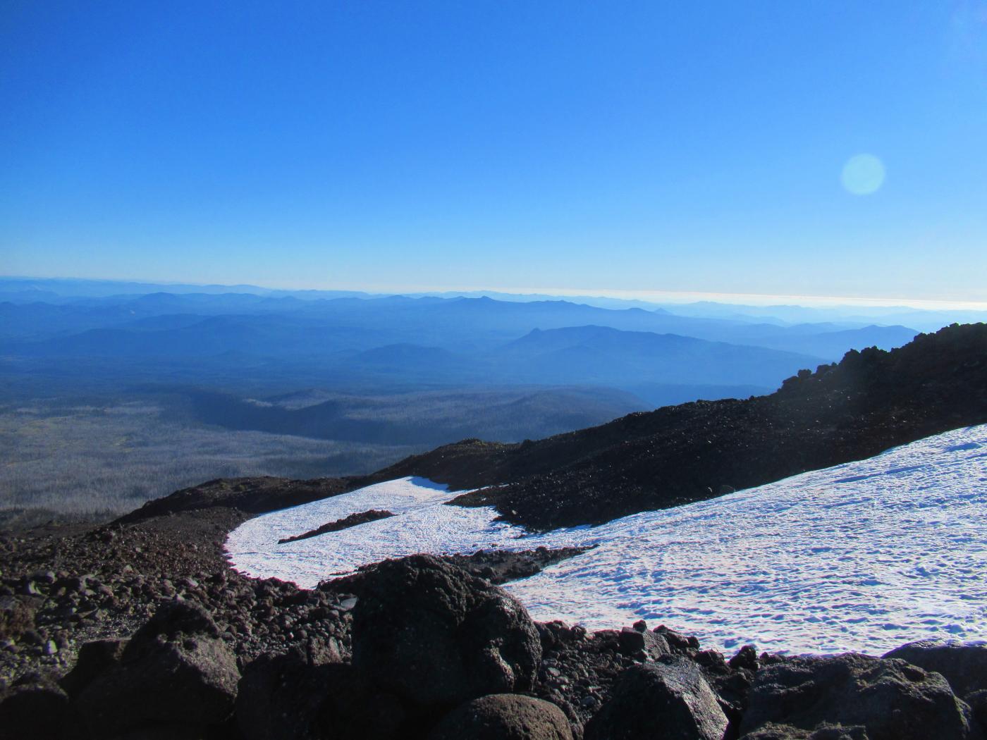
Here's some additional background on Mt. Adams.
Sketchy Section
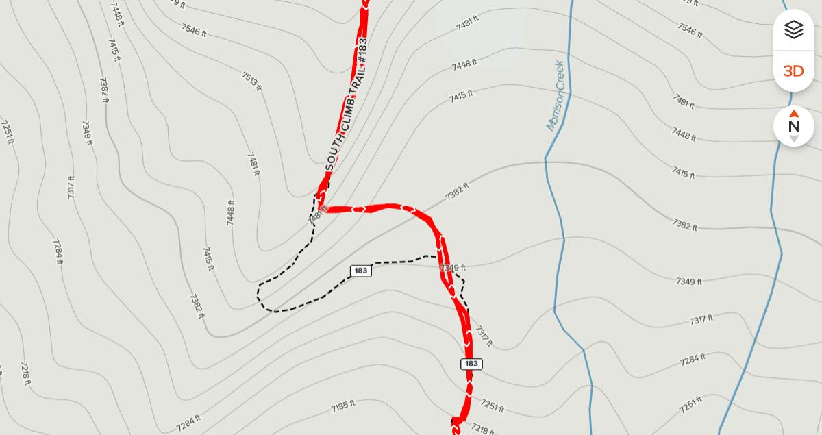
There's a hook in the trail at right about 7,300 ft MSL, shown here as a black dashed line using the AllTrails map, that may be difficult to locate if you are unfamiliar with it. During the ascent took the red path up the face of a relatively steep rock wall with some exposure and associated frayed nerves. Not recommended.
Sketchy Section - Coming Back Down
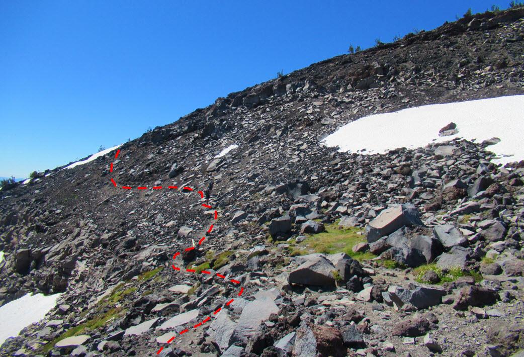
Coming back down took the dashed line path which was much more mellow and less exposed. It's a tricky line to locate but it may be worth the trouble it takes to locate IF the route is open. Depending on snow coverage it may be closed...in which case you may decide to strike another path. "Your local mileage may vary".