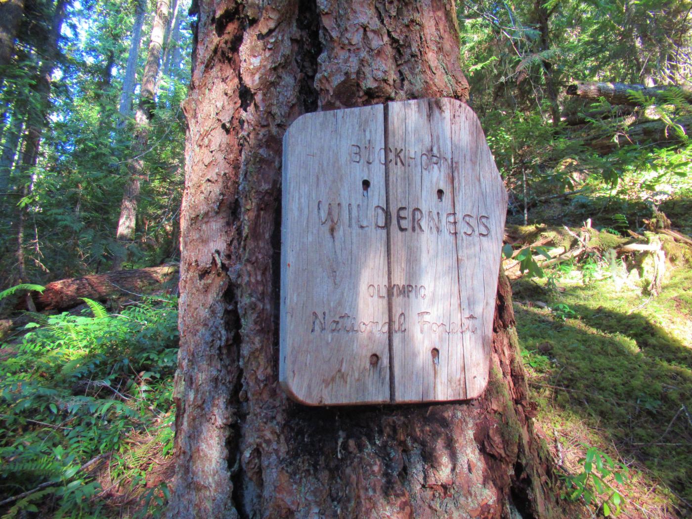
Buckhorn Mountain via Marmot Pass
Published: 10/16/2022
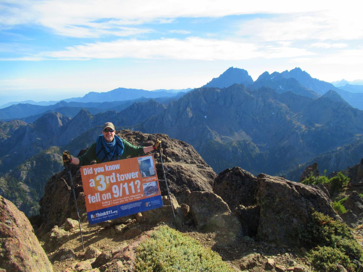
Did you know a 3rd tower fell on 9/11? Click here to head over to the Justice for 9/11 Heroes and Firefighters for 9/11 Truth page for more information on that 3rd tower.
Trail Report: With all the wildfire smoke over the mainland opted for the Olympics for better air quality. Couldn't have picked a better hike or better weather. 75 degree, clear and sunny weather mid-October in the Olympics was surreal. Usually by the time shadows are this long the weather has long since turned.
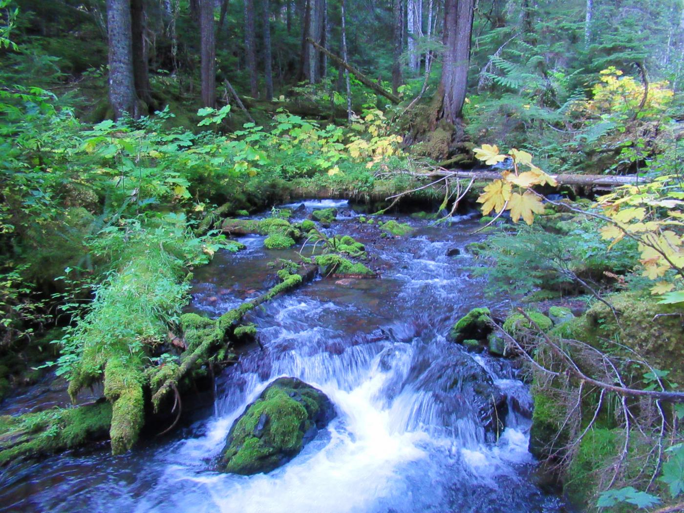
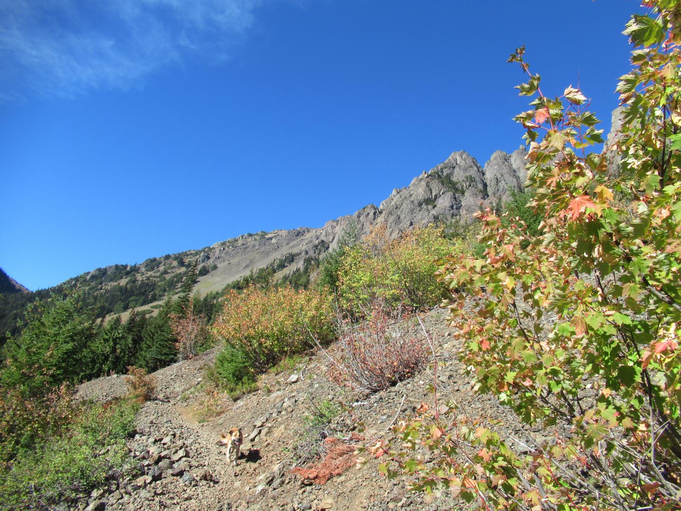
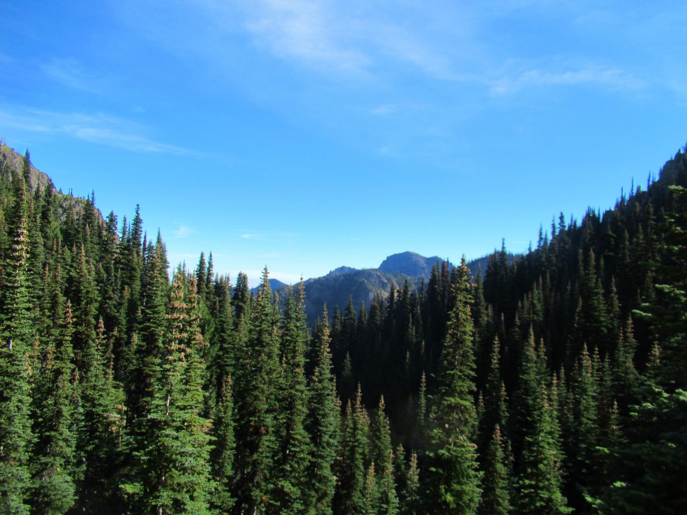
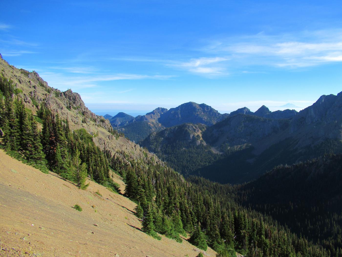
The lower section of the hike begins in old growth forest and proceeds up a gradual but steady grade alongside the Big Quilcene River. Side streams cross the trail feeding the river about every quarter mile on average, making this a "wet" hike. Water filtration or treatment means you'll have an unlimited, readily available supply. The hike remains forested with a few talus field breaks starting about 3.5 miles in with Buckhorn Mountain appearing upslope to your right.
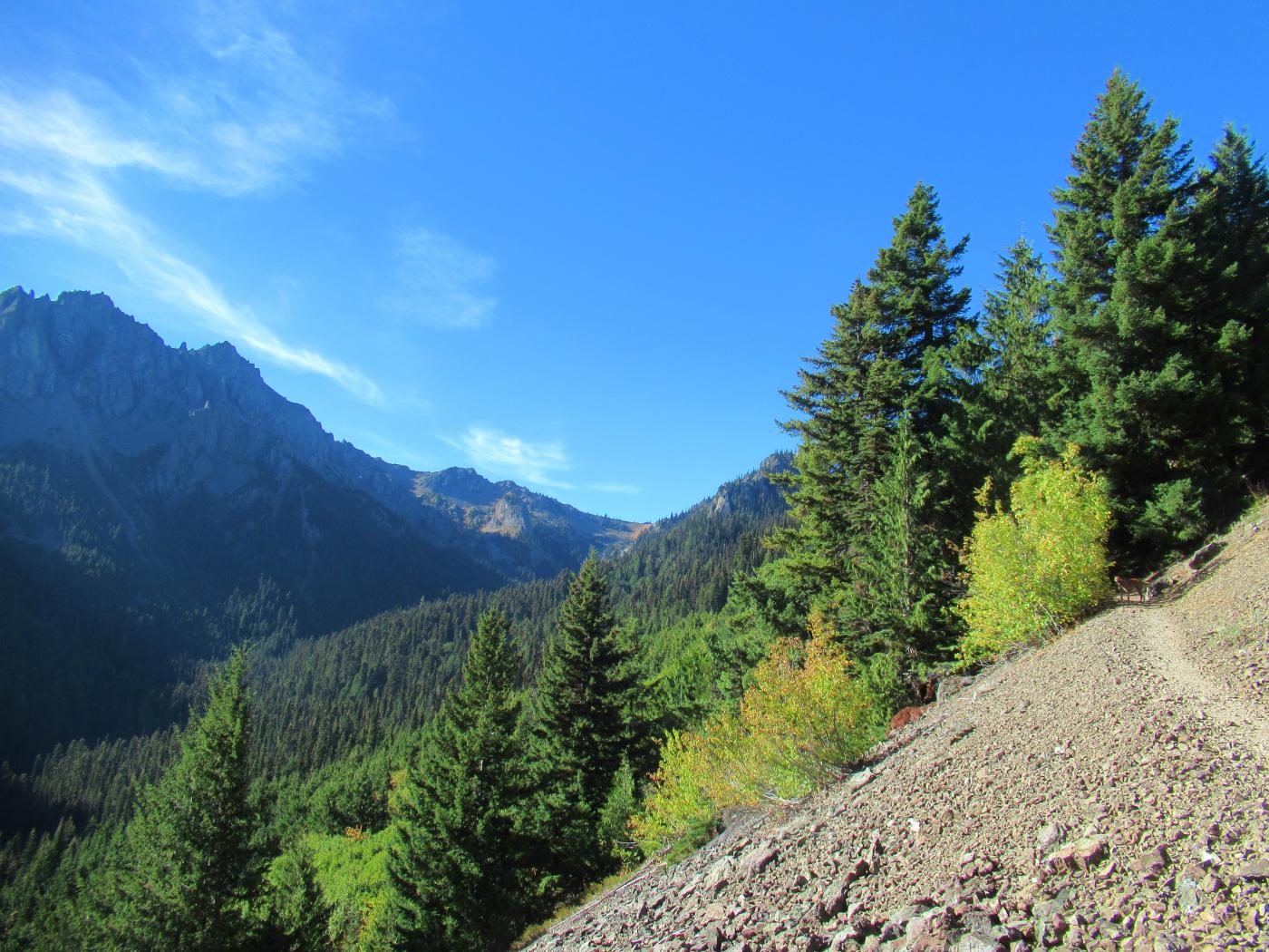
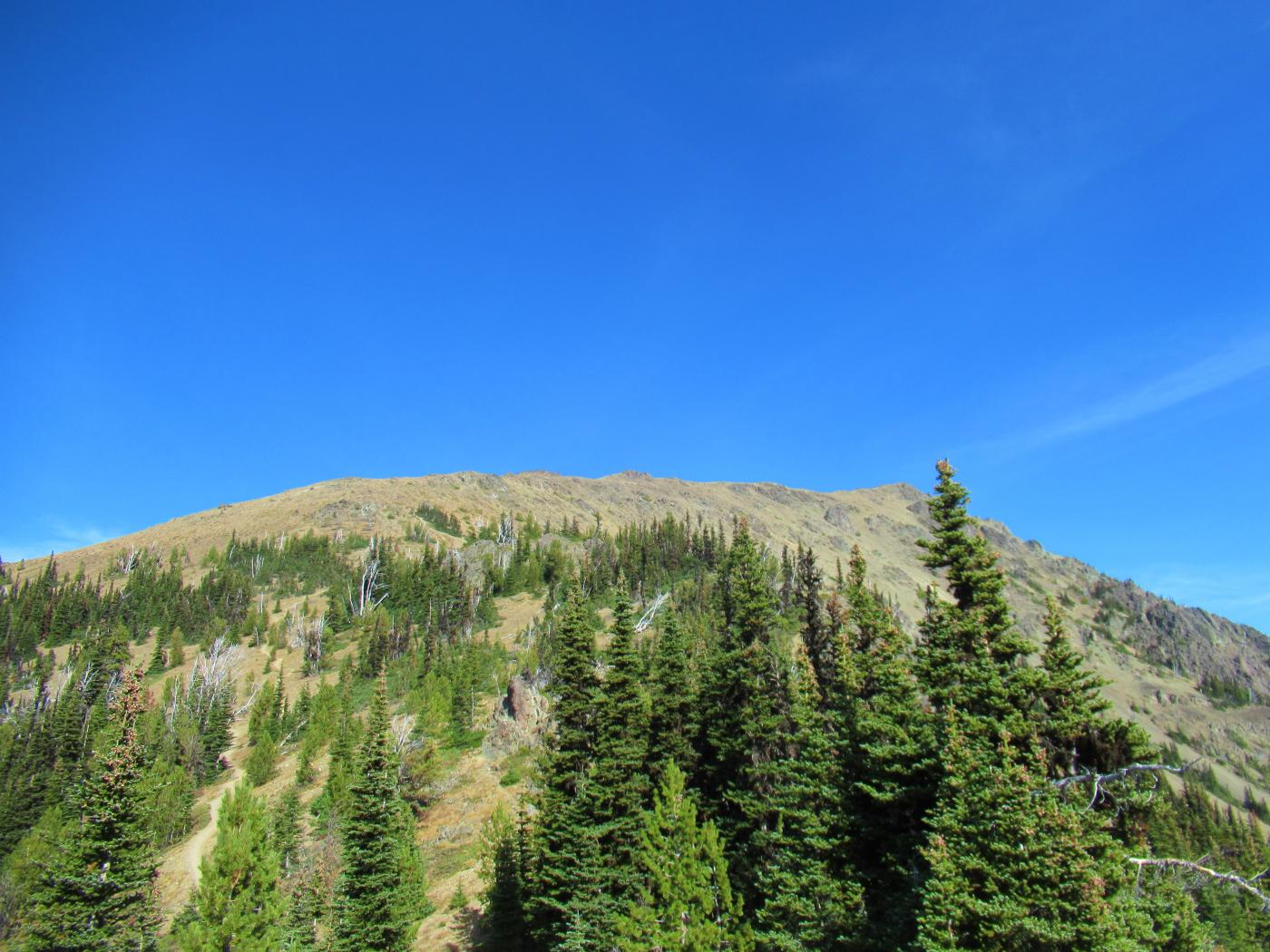
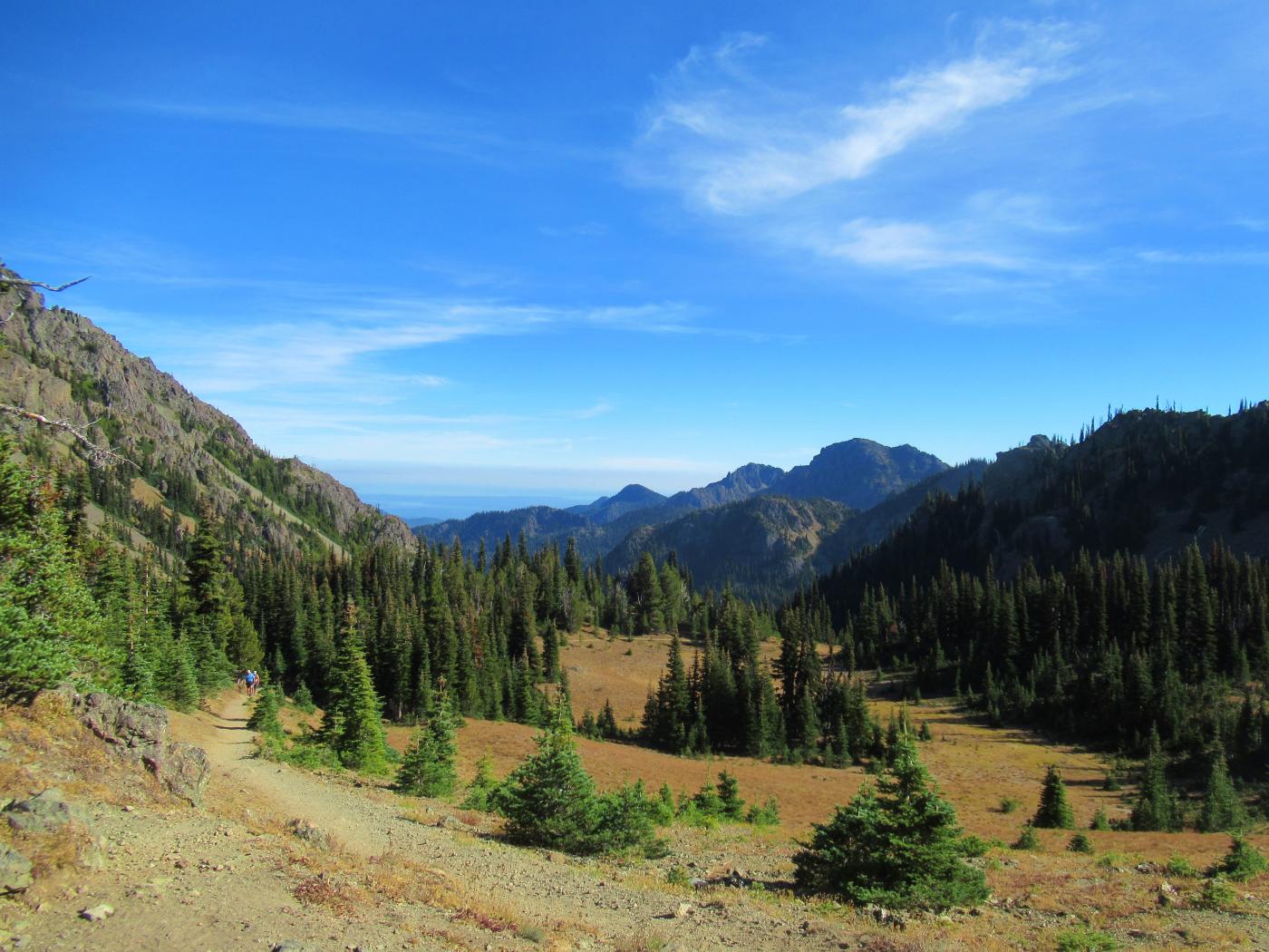
Arrived at Camp Mystery and set camp next to the stream, the camp is situated at one of the headwater tributaries of the Big Quilcene. With camp set and pack weight reduced, topped off on water and then headed the remaining 500 ft or so of elevation gain up to Marmot Pass. The treeline begins to break with the ridgeline trail up to the right leading to Buckhorn.
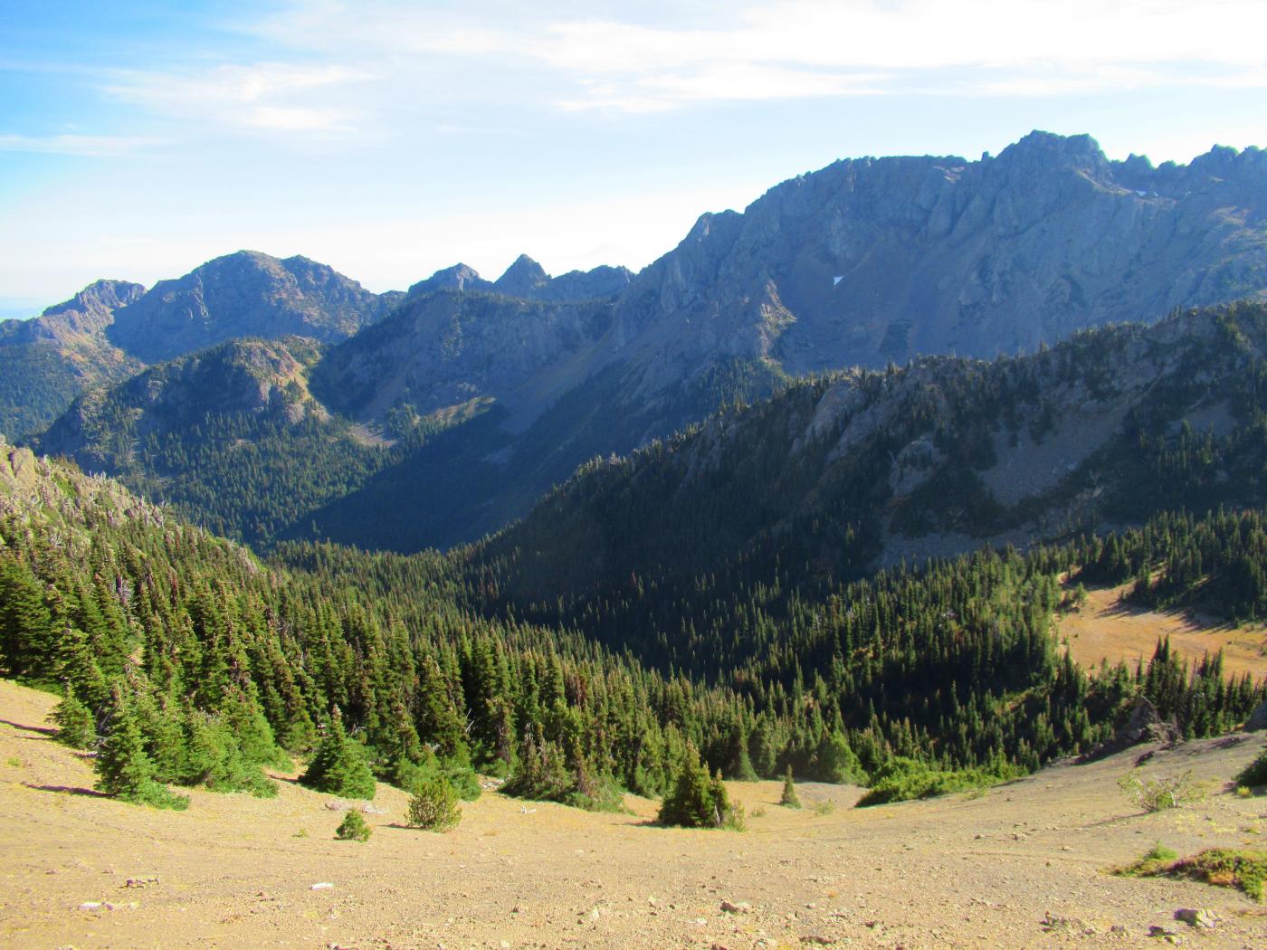
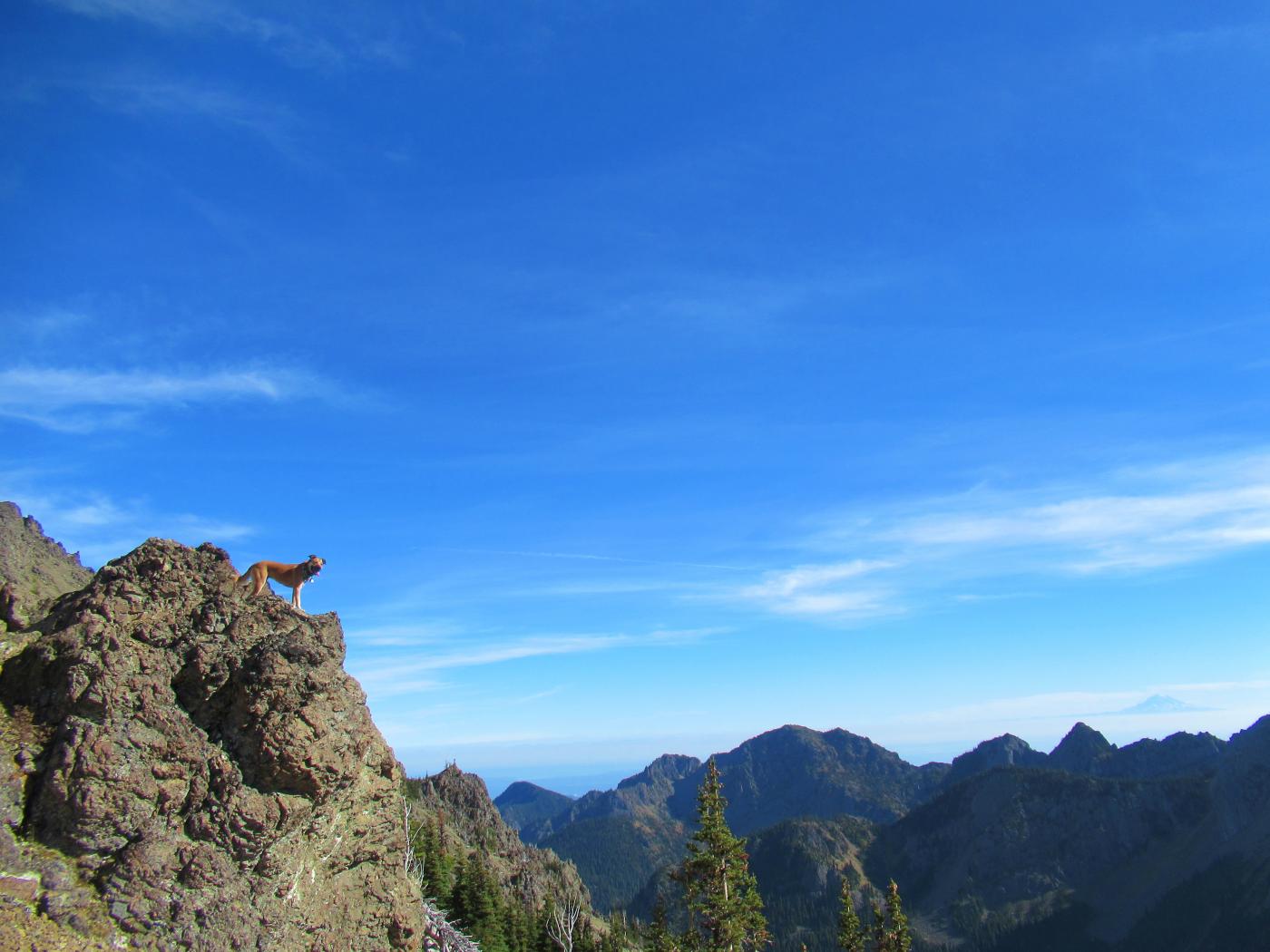
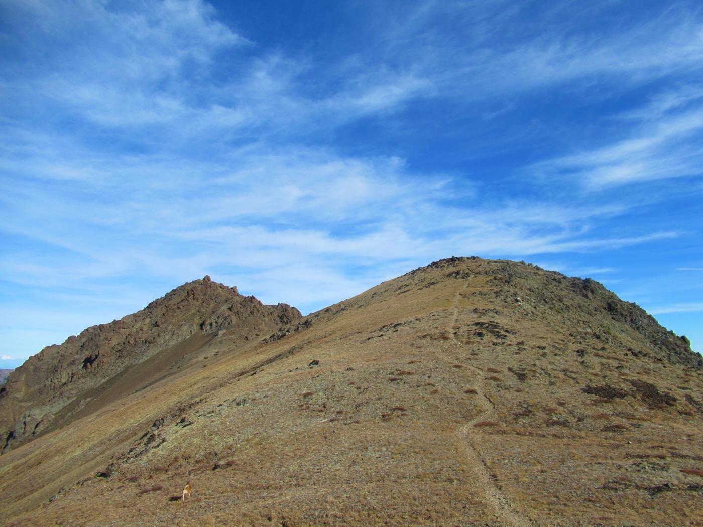
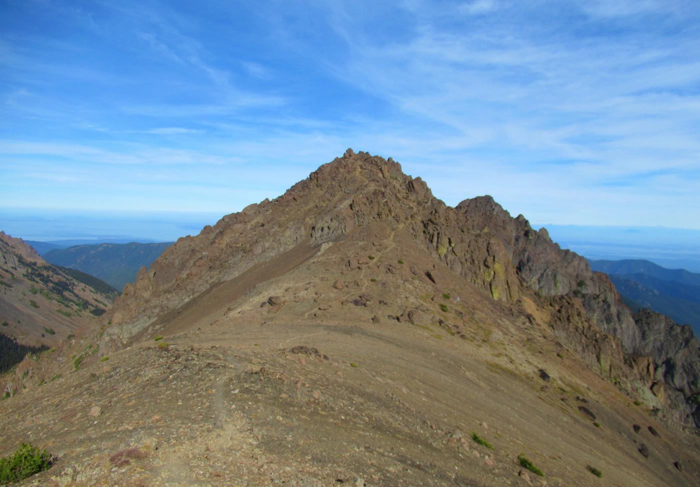
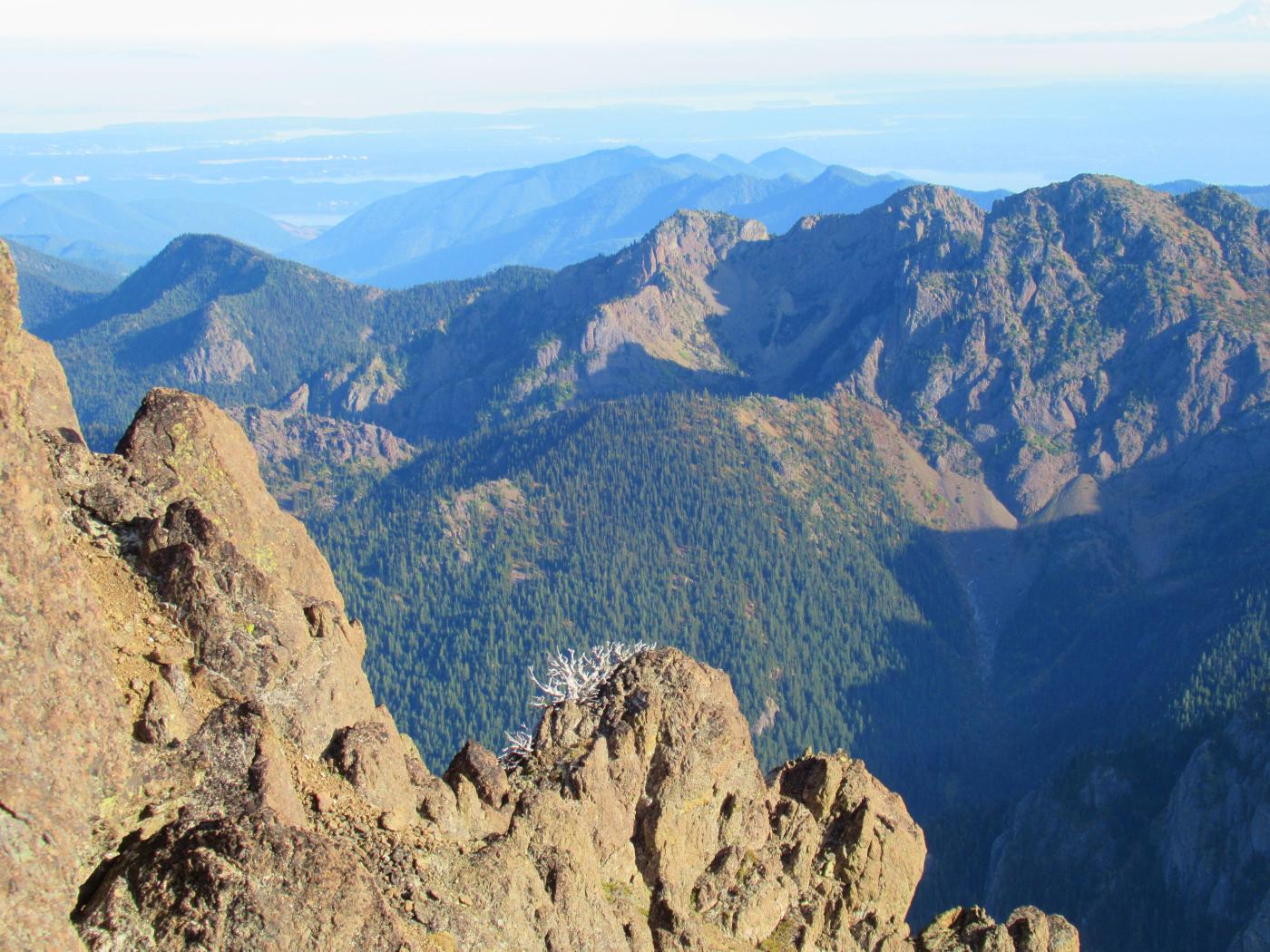
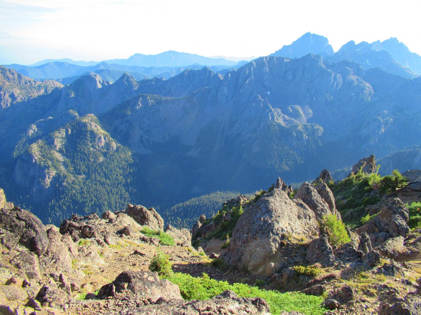
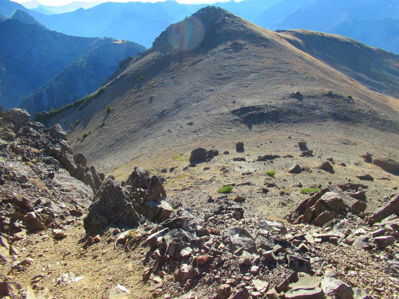
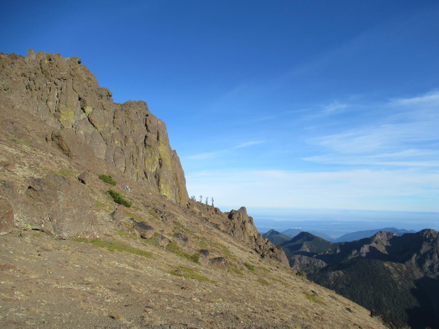
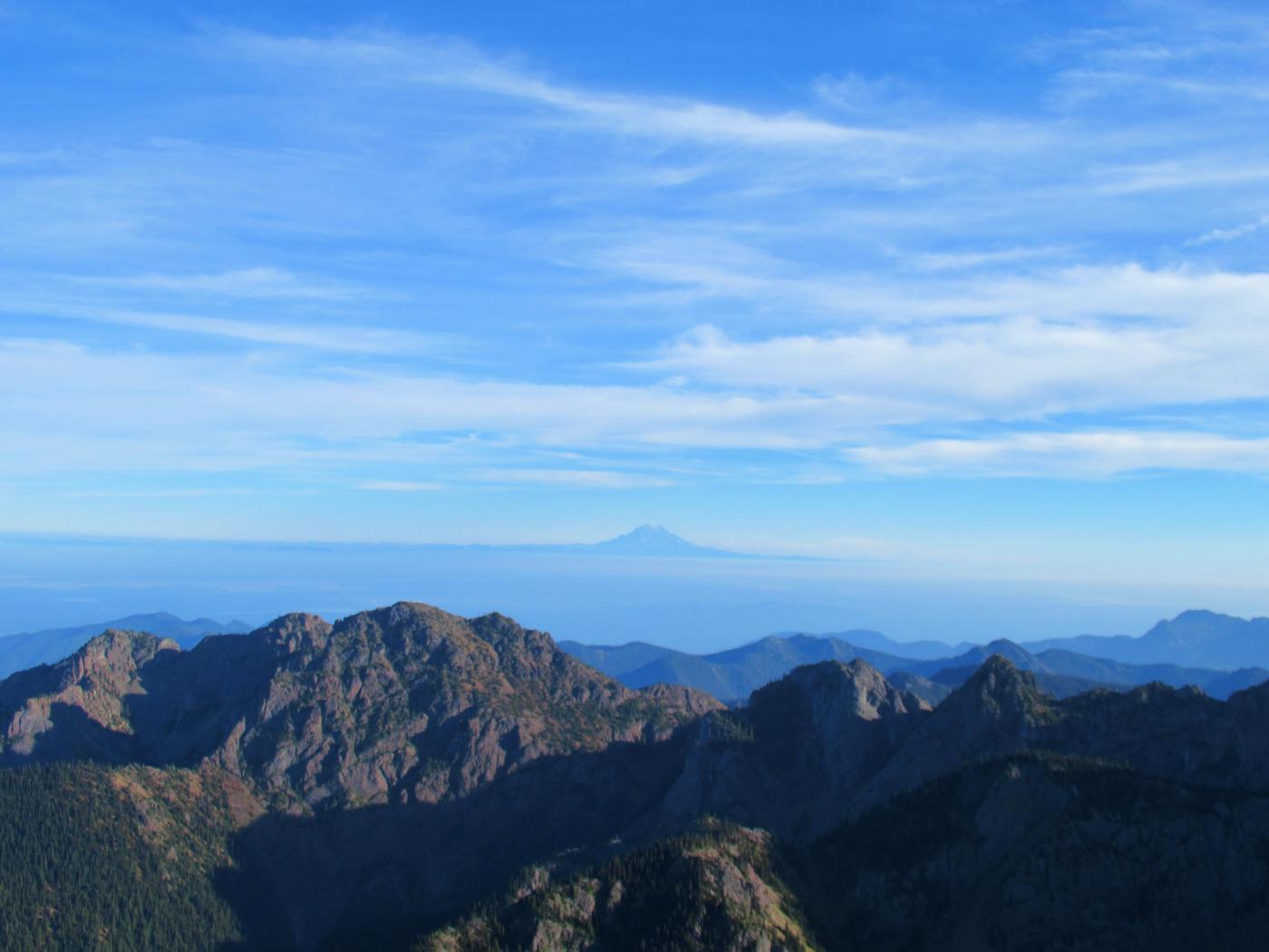
The climb up looks steep towards the peaks but it's actually the first section (from Marmot Pass up to the first false summit) that's the steepest and takes a bit of time. Once at the first prominance the second and third (true summit) come into view. The classic open ridge hike the Olympics are famous for stands in front of you. There's one point on the climb of the true summit that requires a few handholds to clear. Once on the summit block the views opened up to simply incredible. Bauer Mountain was visible just up to the north (previous hike earlier this season). Looking east the smokey haze over the mainland was visible, grateful to have avoided it.
The descent was mellow, the one slightly-spicy spot just below the true summit was easily negotiated with a few handholds and one "sit down" move. Made it back down to Camp Mystery, had dinner and bedded down for the evening. Partial moon really lit up the night sky, the view from camp was spectacular. Packed out early the next morning after a bit of delay searching for "lost" car keys around camp. Make sure to check the bottoms of your pant pockets before you pull your pack apart looking for those.
Gear: Hiking poles and boots. Above Camp Mystery there are no water sources at present so provision for what you'll need for the up and back. All the water sources along the approach to the pass make this hike a great choice for those with dogs.
The road to the trailhead should be passible for most vehicles. There are some pretty serious potholes so pay attention to avoid them if you don't have high ground clearance. Black bear sighted cross the road just before the trailhead, this is bear country so consider carrying spray.
14 miles round trip, ~4,500 ft elevation gain, peak 6,920 ft.
Here's some additional background on Buckhorn Mountain.